Moasure for Irrigation specialists

Master complex irrigation measurements

The revolutionary time-saving tool used by irrigation specialists worldwide.

Read time: 1 min

5 reasons why irrigation contractors are switching to Moasure

Here’s why everybody in the irrigation and drainage industry is talking about Moasure:

1

1

Accurately measure and map irrigation lines

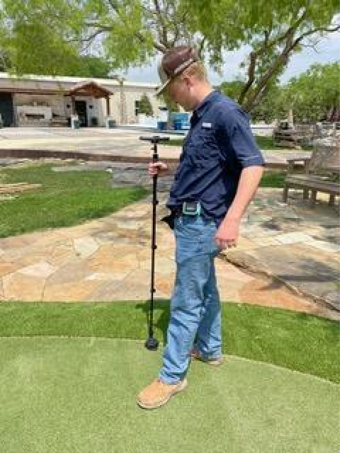
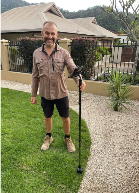
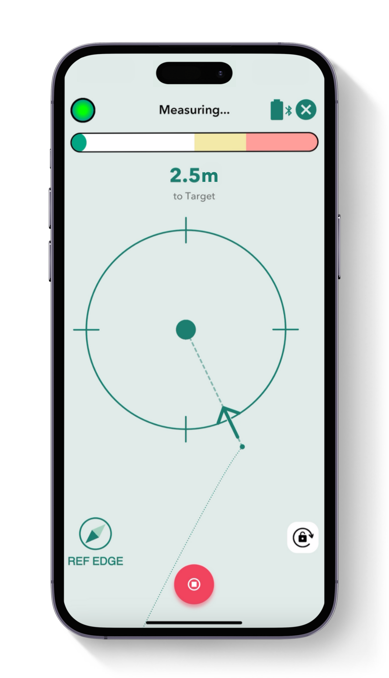
Calculate the area, perimeter, square footage, and elevation changes of your irrigation site as you walk. Ideal for planning complex and irregular irrigation projects with varying terrains.

2

Capture elevation points for effective drainage systems

Quickly document key elevation changes across your site, such as high spots, low spots, slopes, hills, and dips to ensure efficient irrigation systems and water output.

2

3

3

Produce comprehensive 2D and 3D site diagrams

Create dimensioned site plans instantly, simply by measuring as you move. Visualise drawings in both 2D and 3D in the free Moasure app, and label points of interest – like sprinkler heads – for easy reference.

4

Map multiple irrigation zones in one measurement

Make site planning a breeze by measuring individual irrigation zones, relative to one another, in one file. Using the Layers feature, show and hide each measurement as desired before exporting.

4

5

5

Export your drawings into CAD, or as PDFs, CSVs, or images

Seamlessly export drawings into your preferred CAD software and impress customers with quick survey reports – ready for drainage planning.

Powerful in-app tools for irrigation projects

Utilise the Moasure app's powerful suite of tools and features to enhance your irrigation and drainage measurements.

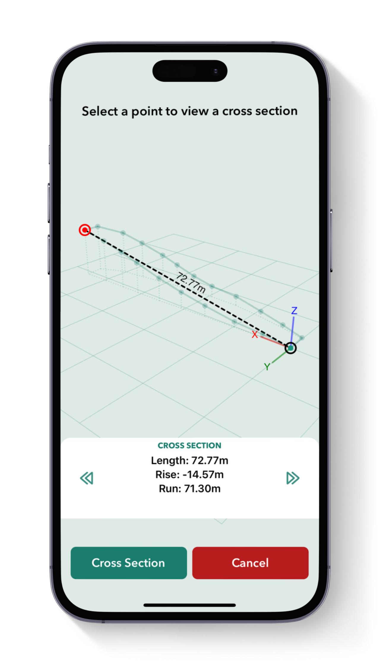
Calculate elevation

Determine the gradient, angle, and rise and run between two points making it ideal for designing irrigation systems with elevation measurements – all in just a few taps in the Moasure app.

Layer measurements

Map multiple spaces relative to one another within one measurement file with the Layers feature. Measure out different irrigation zones with ease for detailed and comprehensive site diagrams.

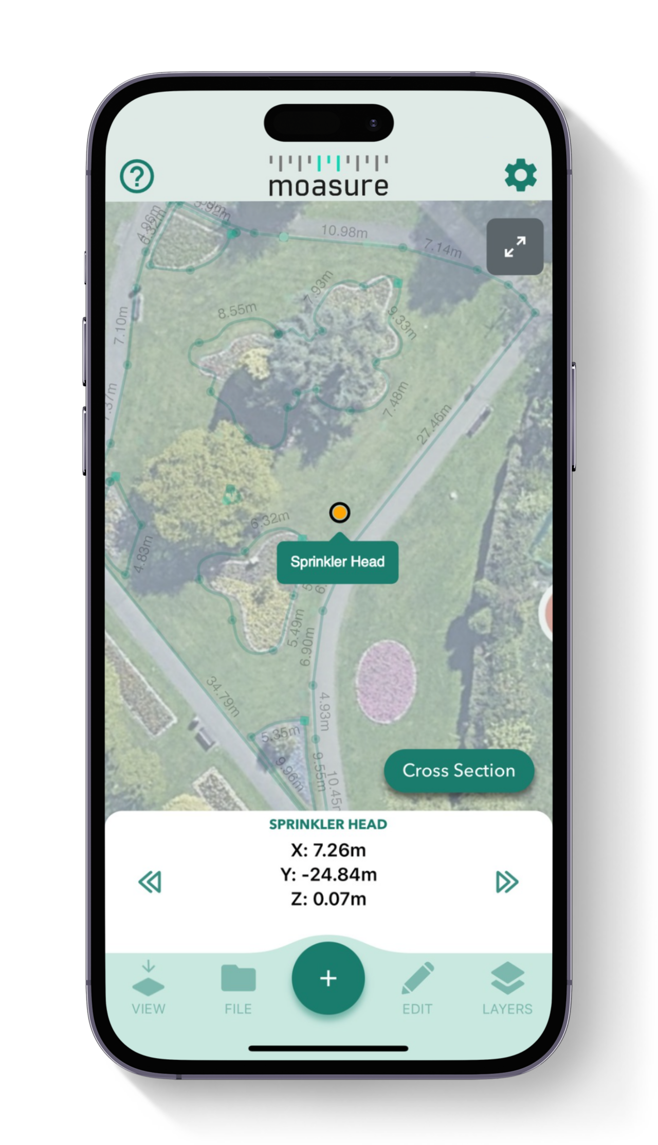
Add labels & backgrounds

Label points of interest within your irrigation zones and overlay your measurement on an aerial shot of the area to help clients or colleagues visualise your project.

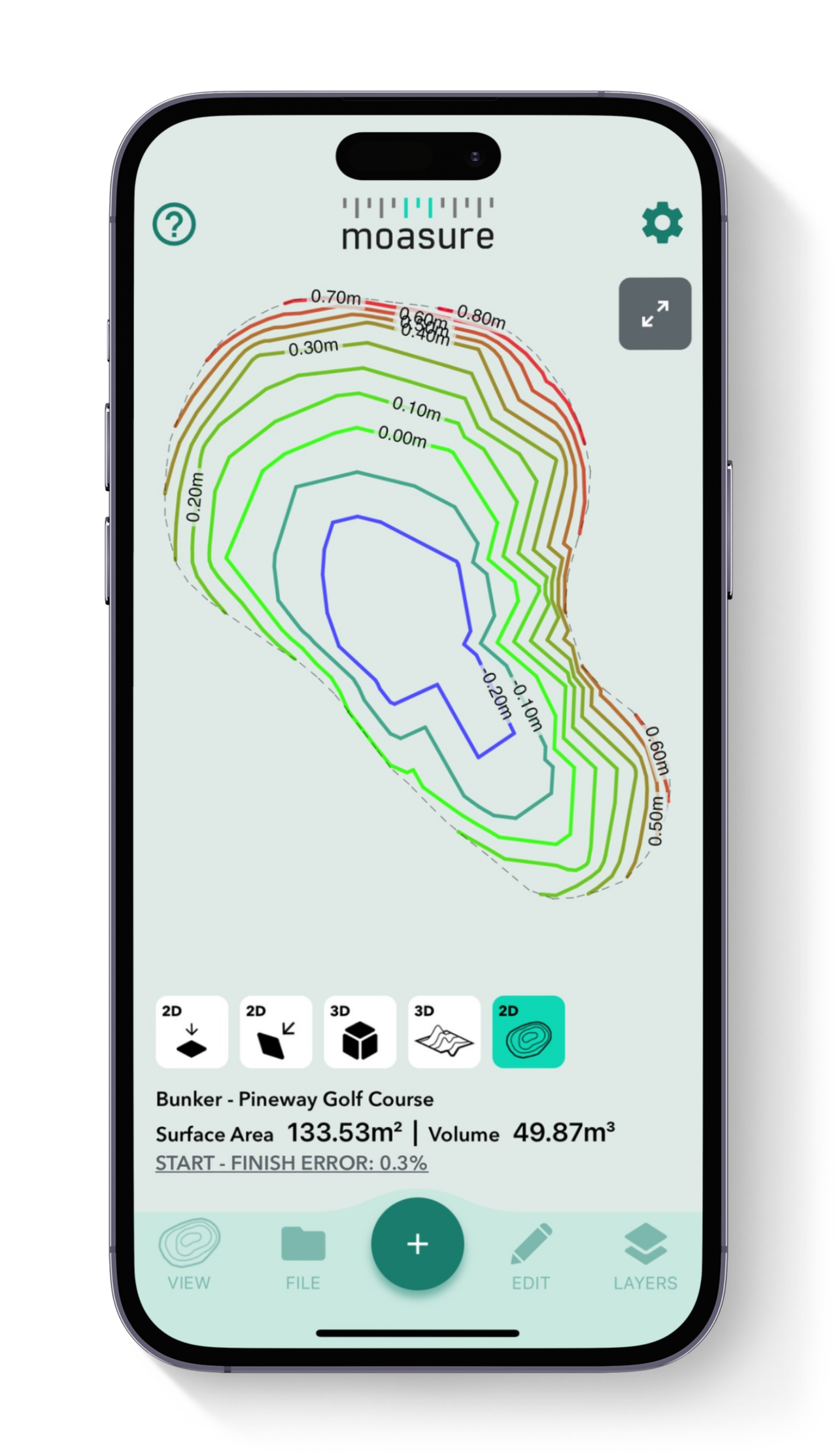
Topography / Contour view

The contour view provides a 3D visualisation of the site’s topography, using Moasure's captured elevation points and helps you understand the irrigation site's slopes.

Layout Mode

Locate and mark points on the job site using inputted x, y coordinates – guided by the Moasure app. A key feature for mapping out zones and determining feature locations – Layout is exclusive to Moasure 2 PRO.

View in 3D

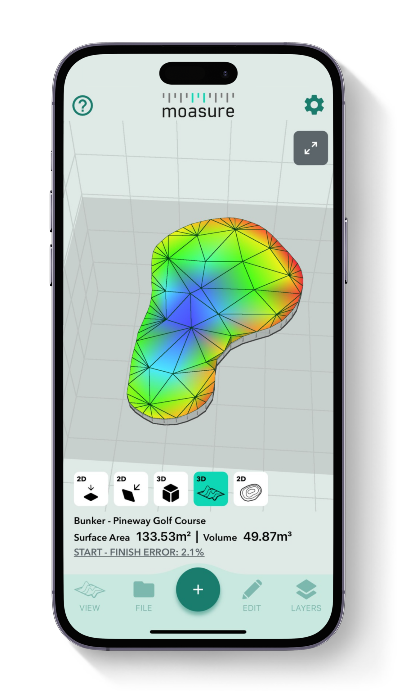
Moasure captures the elevation of every point and generates a model of your measurement in 3D space. Impress your clients as Moasure instantly and automatically draws the area for you.

Cut & Fill tool

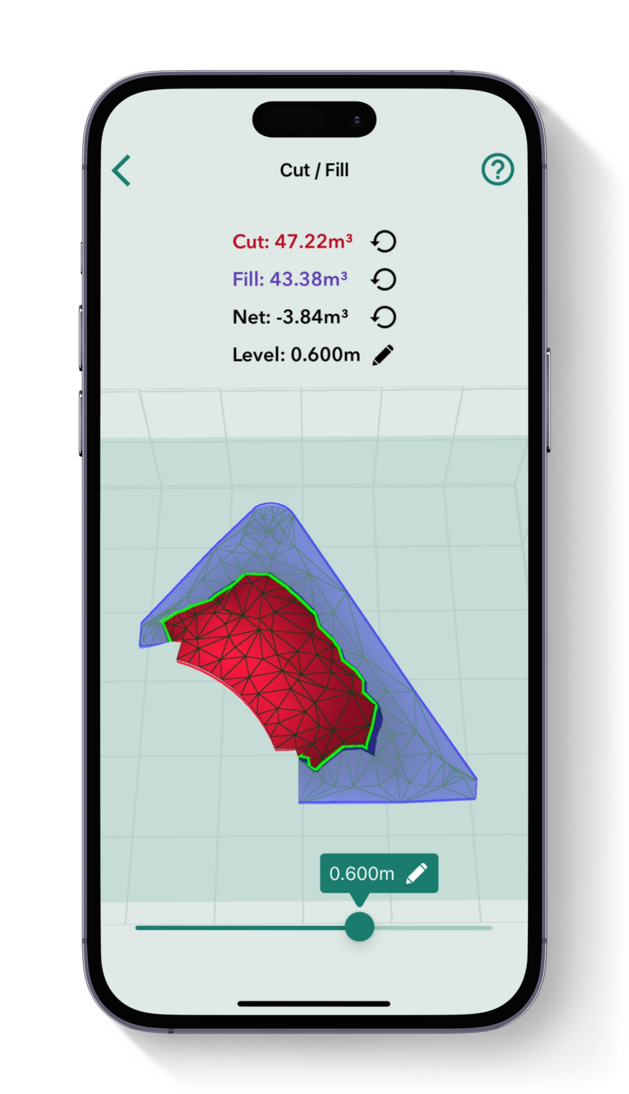
Calculate the volume of material needed to either excavate (cut) or add (fill) to bring a site to the desired level. Set your preferred level and instantly see the volume required for adjustments.

Surface Mesh view

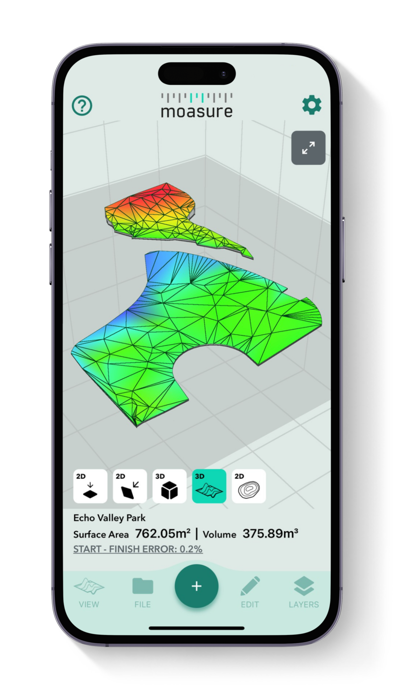
This in-app view generates a 3D surface map based on the measured area’s shape and elevation data, offering an accurate representation of irregular terrain – high and low points instantly mapped.

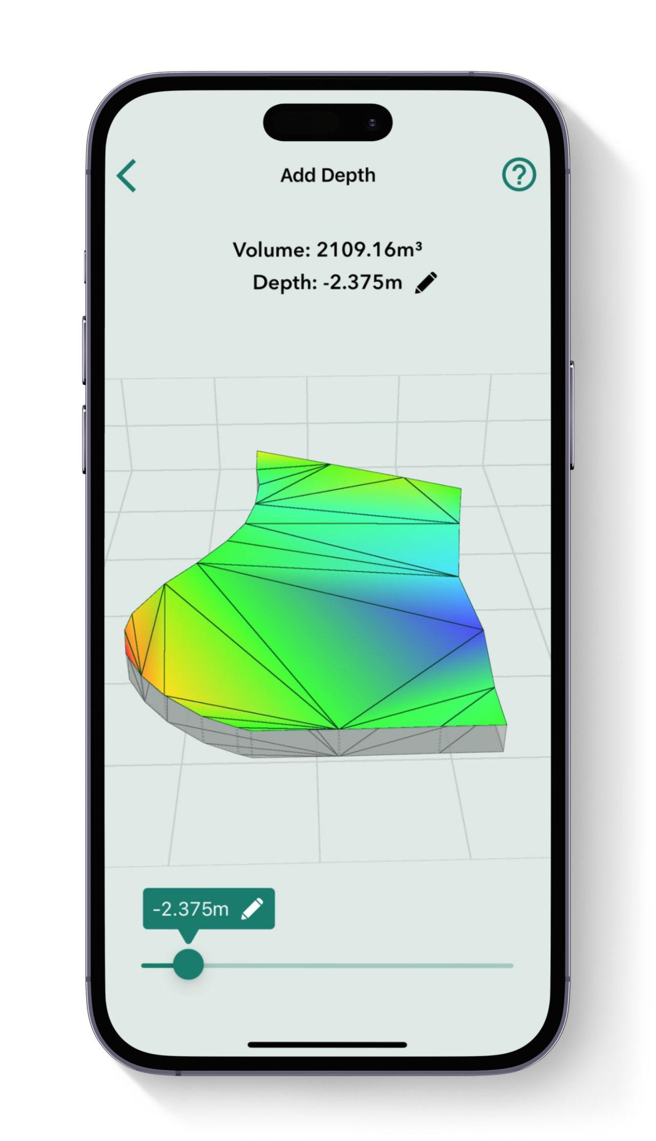
Add Depth tool

Designed for estimating material volumes based on specific depths, this tool calculates how much material (like mulch, soil, or aggregate) is needed to cover a given area at a set depth.

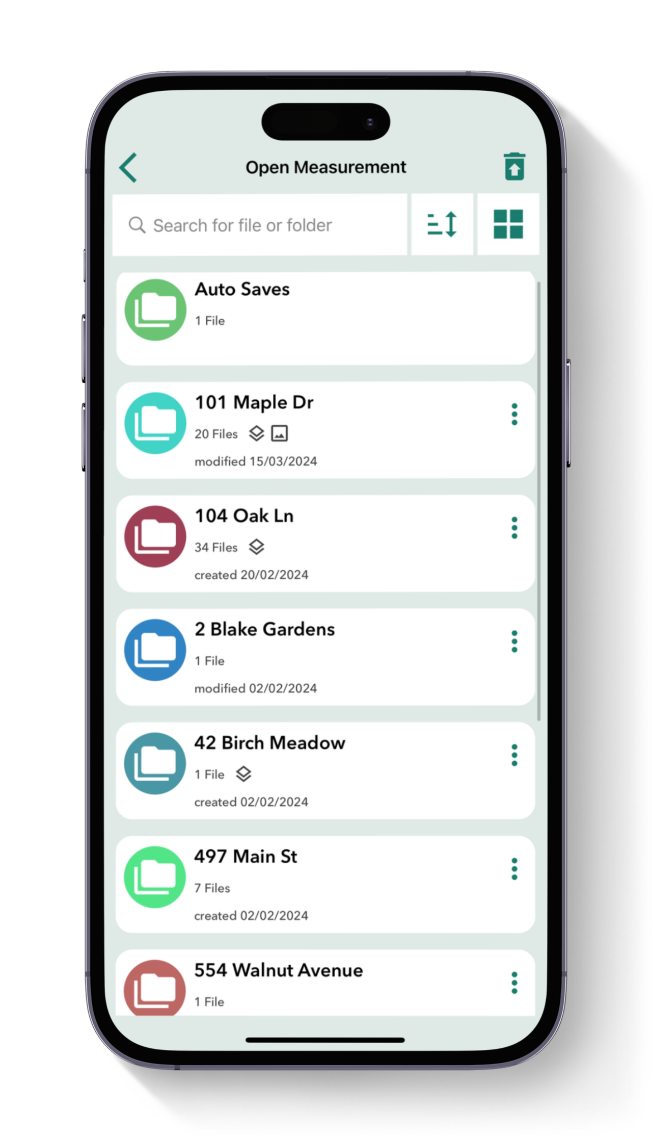
Organise your files

Save your Moasure files and organise them into folders. Ideal for easy reference, access your measurements anytime you need them – Moasure’s organised file system streamlines your workflow.

Calculate elevation

Determine the gradient, angle, and rise and run between two points making it ideal for designing irrigation systems with elevation measurements – all in just a few taps in the Moasure app.

Layer measurements

Map multiple spaces relative to one another within one measurement file with the Layers feature. Measure out different irrigation zones with ease for detailed and comprehensive site diagrams.

Add labels & backgrounds

Label points of interest within your irrigation zones and overlay your measurement on an aerial shot of the area to help clients or colleagues visualize your project.

Topography / Contour view

The contour view provides a 3D visualization of the site’s topography, using Moasure's captured elevation points and helps you understand the irrigation site's slopes.

Layout Mode

Locate and mark points on the job site using inputted x, y coordinates – guided by the Moasure app. A key feature for mapping out zones and determining feature locations – Layout is exclusive to Moasure 2 PRO.

View in 3D

Moasure captures the elevation of every point and generates a model of your measurement in 3D space. Impress your clients as Moasure instantly and automatically draws the area for you.

Cut & Fill tool

Calculate the volume of material needed to either excavate (cut) or add (fill) to bring a site to the desired level. Set your preferred level and instantly see the volume required for adjustments.

Surface Mesh view

This in-app view generates a 3D surface map based on the measured area’s shape and elevation data, offering an accurate representation of irregular terrain – high and low points instantly mapped.

Add Depth tool

Designed for estimating material volumes based on specific depths, this tool calculates how much material (like mulch, soil, or aggregate) is needed to cover a given area at a set depth.

Organize your files

Save your Moasure files and organize them into folders. Ideal for easy reference, access your measurements anytime you need them – Moasure’s organized file system streamlines your workflow.

Featured in:

Can your measuring wheel do

all of this?

Can your measuring wheel do all of this?

Ditch the wheel. Save time, cut waste, and streamline your workflow with Moasure

Measure & draw whilst you move

Measuring Wheel

Measure elevations whilst you move

Measure around obstacles without line of sight

Automatically calculate square footage

Calculate depth & cut and fill

Export to PDF, CAD or CSV

Measure distances up to 99.7% accuracy

Accurately measure curved perimeters
Moasure 2 PRO was recently named as a winner of the 2024 New Product Contest in the Landscape Irrigation category.

Over 90,000+ units sold

Irrigation specialists around the world have switched to Moasure and not looked back.

Love It

I bought a Moasure about a month ago and I love it. I measure whole yards using the layers and as long as you are very careful with using the Moasure the layers line up nicely and I can load each layer into my irrigation design software.

Paradise Outdoors

Lawn Irrigation

Verified Review

Saved Me Hours

Own an irrigation installation/maintenance business and was looking at options to speed up the design process. Finally bit the bullet and purchased it and it's brilliant! Still a lot to learn but already it has saved me hours of manual measuring.

GardenLand Irrigation

Irrigation Installation & Maintenance

Verified Review

Absolute Time Saver

I run and operate a business which does landscape, irrigation and dirtwork. When designing landscapes and irrigation systems, this product has saved me at least an hour for every place I go to measure.

Mow Pros

Landscape Irrigation

Verified Review

Huge Time-Saving Device

When working with Landscape Architects daily I am able to get exact square foot measurements even with lots of curvy lines. From the lawn and garden SQFT, to linear footage for headers, all the way down to wire runs for irrigation and lighting.

Po'okela Lawn Service

Lawn Care

Verified Review

Perfect for Golf Course Superintendents!

It is a fantastic tool to help with course design, mapping of irrigation and drainage, renovation project presentation, and interior measurements of all buildings. I am super happy with my choice to give Moasure a chance to impress me!

Fox Hopyard

Golf Course Management

Verified Review

Lawn Care

Landscape Irrigation

Irrigation Design

Irrigation System Installation

Irrigation Servicing

Water Source Management

Land Grading

Hear

real

stories from

real

irrigation experts

Hear real stories from real irrigation experts

Moasure is a game changer for irrigation and drainage contractors. Let the experts tell you why:

Frequently asked questions

Everything you need to know about Moasure for irrigation and drainage

Moasure is a very helpful tool during both the measuring and planning processes for your irrigation systems.

For measuring existing layouts, Moasure can create detailed and dimensioned diagrams of your site, complete with contour maps and the ability to label points of interest like valve boxes and sprinkler heads.

For mapping out layouts, the ‘Layout’ feature (exclusive to Moasure 2 PRO) enables you to be guided to specified x, y coordinates out in the field, ensuring you can locate and mark key irrigation points easily and accurately.

Moasure’s ‘Layers’ function is the ideal fit for mapping out individual irrigation zones, all in the convenience of a single file.

This feature allows you to accurately determine the water coverage needed for each zone – as well as the area, perimeter, elevation and more – assisting with sprinkler placement, for example.

Individual layers can be exported as their own measurement, providing you with the flexibility to focus on each zone separately if required.

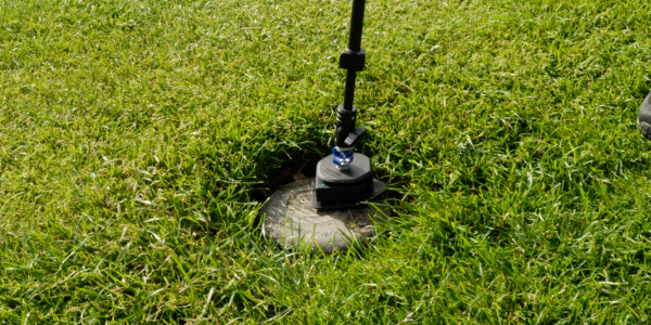
The ‘Add Label’ in-app tool allows you to efficiently label points of interest, like sprinkler heads, directly on your measurement diagram.

This can be done using the ‘Points’ path type to first locate the sprinkler head, which then can be labelled after you’ve completed the measurement. Of course, this technique can be used for any other points of interest within your measurement too.

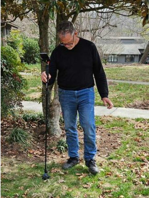
Moasure effortlessly captures elevation data as you move around your irrigation site, and can be placed on more challenging terrain such as turf, sand, and aggregate. This data is instantly viewable in the Moasure app once you’ve completed your measurement.

With its automatic elevation capture, Moasure provides you with the key data you need to effectively plan your irrigation and drainage systems on every site.

Yes, Moasure diagrams can be directly exported as PDFs, CAD files or images to your preferred size, such as A4, straight from the app.

For further context, you might consider adding an aerial background image within the app before exporting to support your irrigation mapping.

CHOOSE YOUR MOASURE RISK-FREE

100% money-back guarantee

Every Moasure device is tested to ensure it meets our accuracy and precision standards.

Plus, every order comes with a 60-day money-back guarantee as standard.

Thousands of professionals have transformed their workflow with Moasure.

Give it a try and you’ll never look back.